
Neighborhood Traffic Calming Program
The Decatur Safety Action Plan establishes a data-driven process for speed management (traffic calming) on City-owned streets that supports the citywide 25 MPH speed limit. This page explains how the program works — who qualifies, how projects are prioritized and delivered, and where improvements are happening now.
Why Speed Management?
Slower speeds save lives. Crash severity rises sharply with vehicle speed, especially for people walking, biking, and rolling. At 25 MPH, a pedestrian has less than a 20% chance of a fatal or severe injury. At 35 MPH, that risk jumps to more than 50%.
Proactive, well-designed speed management keeps travel speeds consistent with posted limits, reduces crash severity, and improves safety citywide.
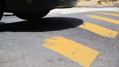
What Counts as Speed Management?
Traffic calming includes design treatments that encourage safe, steady speeds and reduce risky behavior. Examples include:
-
Speed tables and raised crosswalks
-
Curb extensions and mini-roundabouts
-
Neighborhood traffic circles
-
Protected bike lanes
-
Lane narrowings and median islands
-
Daylighting and visibility upgrades near crossings, schools, parks, and bus stops
Which Streets Qualify?
Streets are typically targeted for speed management when both conditions are met:
-
Traffic volume: at least 300 vehicles per day
-
Speed: measured 85th-percentile speed greater than 25 MPH
Special Considerations
City staff may also recommend projects on residential streets that don’t meet these thresholds when clear safety concerns exist, such as:
-
Streets without sidewalks or too narrow for shared travel lanes
-
Streets with significant cut-through traffic
-
Streets near schools, parks, or bus stops
How Projects Are Prioritized
The Decatur Safety Action Plan identifies near-term speed management priorities based on:
-
Measured 85th-percentile speed
-
Percentage of drivers exceeding the speed limit
-
Social vulnerability of nearby residents
-
Proximity to Downtown Decatur’s Special Pedestrian Area, schools, parks, and transit
-
Relationship to the High Risk Network (areas with higher severe-crash risk)
-
Street type (Neighborhood Connector vs. Residential Street)
Engagement & Notifications
Each year, staff develop a priority list as part of the city’s budgeting process.
-
Residents on project streets receive advance notice of proposed designs.
-
Public Information Sessions are held for affected neighborhoods.
-
A clear feedback and opt-out process is provided on a project-by-project basis.
What to Expect on a Project
-
Screening and data collection (speeds, volumes, safety conditions, and community comments)
-
Concept design aligned with the Safety Action Plan toolkit
-
Community notification and feedback
-
Design refinements and finalization
-
Implementation
-
Post-project evaluation
How to Check Eligibility
-
Review the Decatur Safety Action Plan to see if your street is part of the High Risk/High Injury Network (Maps 4, 5, and 16) or listed on the Traffic Calming Priorities Map (Map 11).
-
Share your experience: Contact the Transportation team with observations, times, photos, or other details.
Funding & Schedule
Projects advance as funding and capacity allow. Some corridors progress more quickly through external grants or GDOT partnerships. The City updates the priority list periodically as implementation, staff capacity, and available funds change.
Contact
Transportation & Public Works – City of Decatur
Questions or requests for your street? Email julie.harlan [at] decaturga.com (julie[dot]harlan[at]decaturga[dot]com) or call 404-377-5571.